Welcome to the Hot Springs County, Wyoming – County Emergency Management Department

Register on Hot Springs County CodeRED. Be sure you are registered to automatically receive Emergency Information. Your information is confidential and used only to contact you in an EMERGENCY.
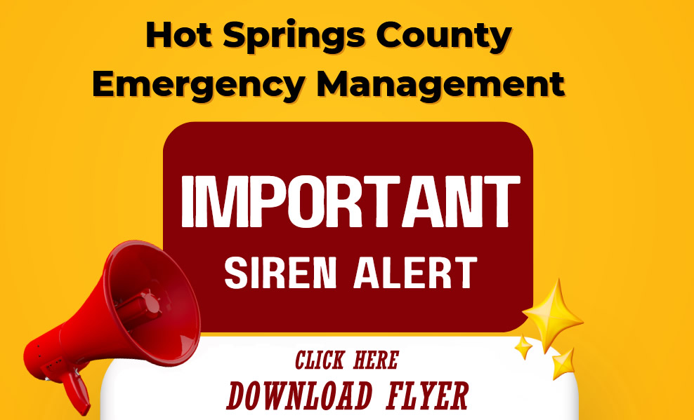
If you hear an alert siren:
IMMEDIATELY:
- Expect CodeRED information
- Tune to radio station KYTS, 105.7 FM
- Watch your cable TV interrupt
- Listen to your NOAA All-Hazards Radio (Ch 5, 162.500 MHz)
- For long-term incidents, check this website and our Facebook & Twitter for ongoing information
- Continue to monitor your information source
![]() ALERT SIREN: Used for Tornado Warnings and/or a severe storm warning of winds over 70 mph and/or hail 1.75" or larger (golf-ball size).
ALERT SIREN: Used for Tornado Warnings and/or a severe storm warning of winds over 70 mph and/or hail 1.75" or larger (golf-ball size).
![]() HI-LO SIREN: Indicates a total failure of Boysen Dam. Evacuate on Highway 120 (toward Cody) or Highway 20 (toward Worland) immediately.
HI-LO SIREN: Indicates a total failure of Boysen Dam. Evacuate on Highway 120 (toward Cody) or Highway 20 (toward Worland) immediately.
Hot Springs County is a StormReady Community!

NOAA Weather Forecast Office, Riverton
1-800-211-1448
24 hrs/day • 365 days/yr
Wyoming Weather Records
- High Temp: +114°F at Basin, WY — Feb 9, 1933
- Low Temp: −66°F at Riverside Ranger Station — Jul 12, 1900
- 24-hr Rainfall: 5.50" at Dull Center (near Newcastle) — May 31, 1927
NOAA All-Hazards Radio — Get One! It will alert you 24 hours/day and keep you informed.
Emergency Communication Tip
- When networks are overloaded, a text message is more likely to get through than a voice call.
- If you have weak signal, a text may still send when a call will not.